|
|
|
Advertisements:
GeographyLocation
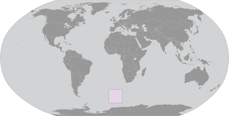
Isla en el Océano Atlántico, al suroeste del cabo de buena esperanza (Sudáfrica) Geographic coordinates
54 26 S, 3 24 E
Map references
Región antártica
Area
Total 49 sq km
Land 49 sq km Water 0 sq km Area - comparative
Aproximadamente 0,3 veces el tamaño de Washington, DC Land boundaries
0 km
Coastline
29.6 km
Maritime claims
Territorial sea 4 nm
Climate
Antarctic
Terrain
Volcánica; Costa es en su mayoría inaccesible Elevation extremes
Lowest point South Atlantic Ocean 0 m
Highest point Olav Peak 935 m Natural resources
None
Land use
Arable land 0%
Permanent crops 0% Other 100% (93% ice) (2005) Irrigated land
0 sq km
Natural hazards
NA
Environment - current issues
NA
Geography - note
Cubierta por hielo glacial; declarada reserva natural por Noruega
Comentarios
Anade un comentario nuevo:: |
Advertisement
Login
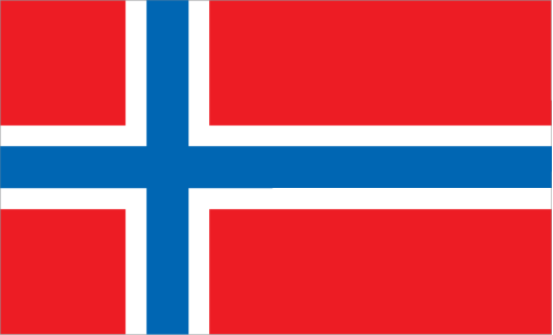
Isla Bouvet [ Noruega ] (Norway):
GPS puntos de Isla Bouvet [ Noruega ] (Norway)
|
||||||||
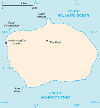
 Esta isla deshabitada, volcánica, Antártica está casi completamente cubierta por glaciares y es la isla más alejada de la tierra, lo que dificulta al enfoque. Fue descubierto en 1739 por el oficial naval francés, después de que la isla fue llamada. Ninguna reclamación fue hecha hasta 1825, cuando se planteó la bandera británica. En 1928, el Reino Unido renuncia a su reclamación a favor de Noruega, que había ocupado la isla el año anterior. En 1971, Noruega había designado Isla Bouvet y reserva de las aguas territoriales adyacentes a la naturaleza. Desde 1977, Noruega ha ejecutar una estación meteorológica automatizada y estudió estrategias de forrajeras y distribución de focas de pieles y pingüinos en la isla.